473 words
VIDEO: “Did Virginia Realize They Would Host the Civil War?” – Dennis Frye TRT: 3:27
Did Virginians realize they would host the Civil War. I think that they understood very clearly the geography and the problem of geography for them in case of civil war. They knew they’re a northern, southern state. There’s what is referred to as an upper south state, versus a lower south state. Lower south state would be South Carolina or Georgia or Alabama, Florida, Texas, Mississippi, Louisiana – those would be the lower south states and those were the first states to succeed, incidentally, furthest away from the northern states.
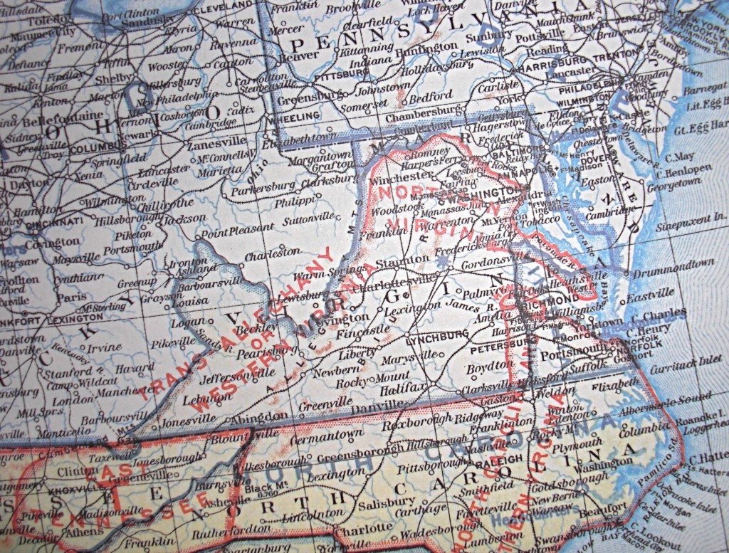
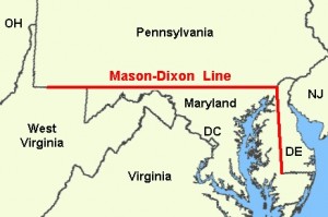
Virginia knew that its geographic location being in such close proximity to Pennsylvania to Ohio that that could be problematic for Virginia; that, if Virginia left the union, certainly Ohio was not going to, certainly Pennsylvania wasn’t. But what about Maryland? Maryland? Maryland’s a slave state. The mason-dixon line; it’s not just an imaginary line that runs and separates Pennsylvania from Maryland, but the mason-dixon line is a line of morality. It is the line that separates free from slave. So, Virginia has some cushion in terms of a slave state just north of the Potomac river. So, perhaps Virginians think that the real battleground will be in Maryland and not in Virginia but the problem with that is that Maryland is so small geographically. In one place, Maryland is only about a mile and a half wide. It would only take about 20 minutes to go from Pennsylvania through Maryland and Virginia. So you could take 20 minutes walking and you’d be in the United States of America, and then you were in the confederate states of america. This is assuming Maryland stayed with the United States and so Virginians quickly realized that their geography could be problematic – that in case of civil war, that they were too close to the north and that,
obviously, if the if the United States intended to bring the southern states – the seceded states – back, that the most logical target – the place to start – would be Virginia. Exacerbating this for Virginians was the capital question, the confederate state’s capital question. You know, when secession occurred initially in the lower south the confederate capital was in Montgomery, Alabama. Well, when Virginia decided to secede, because of Virginia’s prestige, because of Virginia’s geography, and because of her symbolism of Virginia joining the confederacy, and then suddenly becoming the flagship of the new state (country), (no longer was it South Carolina). Now, all eyes were focused on Virginia. The capital moved from Montgomery to
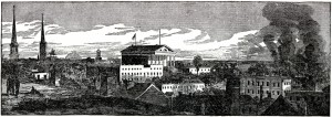
Richmond and the separation between
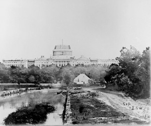
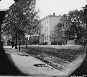
Washington, D.C. and Richmond, Virginia was only about 100 miles. So, it was very clear to Virginians from the start that it was a huge gamble. There was enormous risk involved in them leaving the United States and inviting their state to become a battleground.
References:
Cowles, Capt. Calvin D, 23d U. S. Infantry, Major George B. Davis , U.
S. Army, Leslie J. Perry, Joseph W. Kirkley. “The Official Military
Atlas of the Civil War.” EHistory, Ohio State University.
17 June 2008 .Web. 12 Oct. 2010.
Mason-Dixon_Line. Wikipedia English. Latest update 27 Oct. 2009. Web. 2 May 2011.
Richmond_in_the_American_Civil_War
Wikipedia English. Latest update 27 Oct. 2009. Web. 2 May 2011.
Washington,_D.C._in_the_American_Civil_War.
Wikipedia English. Latest update 27 Oct. 2009. Web. 2 May 2011.
http://en.wikipedia.org/wiki/Washington,_D.C._in_the_American_Civil_War
Videos:
Frye, Dennis. “Did Virginia Realize They Would Host the Civil War?”
American Military University Civil War Scholars. 1 July 2011 Web. 1 July 2011.
Flickr Set:
dec61va.jpg
Cowles, Capt. Calvin D, 23d U. S. Infantry, Major George B. Davis , U.
S. Army, Leslie J. Perry, Joseph W. Kirkley. “The Official Military
Atlas of the Civil War.” EHistory, Ohio State University.
17 June 2008 .Web. 12 Oct. 2010.
Mason-dixon-line.jpg. Wikipedia English. Latest update 27 Oct. 2009. Web. 2 May 2011.
File:Capitol_under_const_1860.jpg. Wikipedia English. Latest update 27 Oct. 2009. Web. 2 May 2011.
File:LC-B815-911 Rt side stereoview 1865 LOC.JPG.
Wikipedia English. Latest update 27 Oct. 2009. Web. 2 May 2011.
richmond-civil-war.jpg.
SonoftheSouth. 2003 Web. 5 May 2011